
Your trips as a cinematic 3D flight.
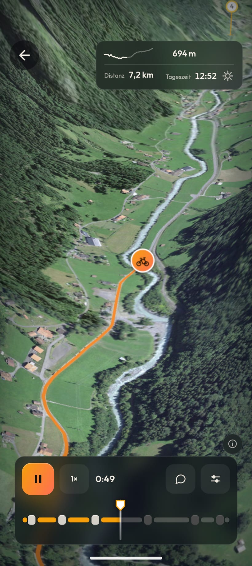
Record your tour with your phone. Maptale turns it into a cinematic 3D flight over the real landscape and your photos along the way.
Satellite imagery: Esri, Vantor, Earthstar Geographics, GIS User Community
Record your tour with your phone. Maptale turns it into a cinematic 3D flight over the real landscape and your photos along the way.
Satellite imagery: Esri, Vantor, Earthstar Geographics, GIS User Community
No account needed: play it in the browser, scrub through it and explore the photo stops.
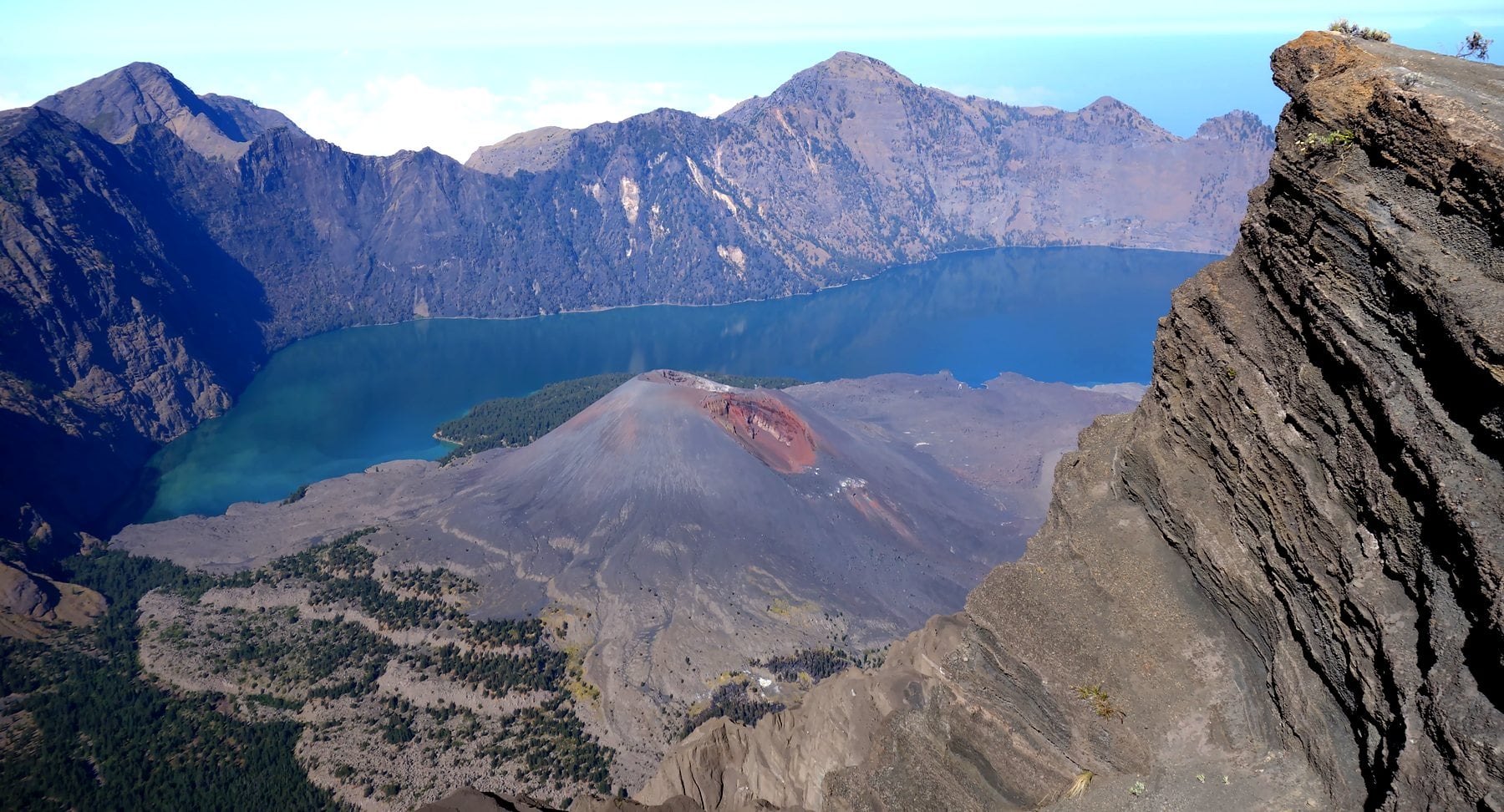
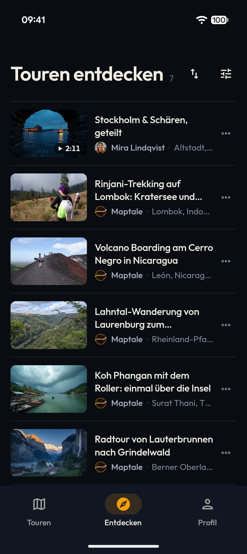
Down from the crater rim to the lake, then up to the summit by moonlight: Indonesia's second-highest volcano on foot.
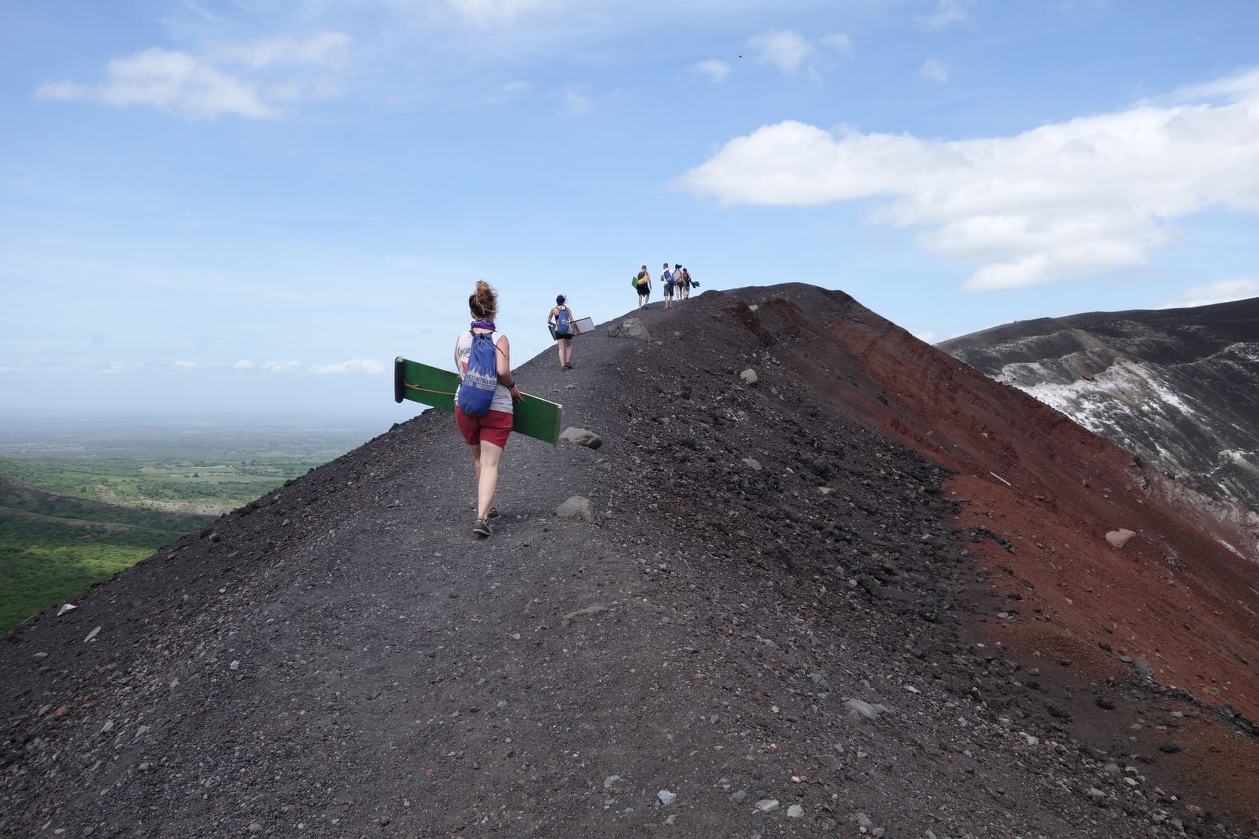
By truck along the dirt road, on foot up the black ash cone and down again on a board: volcano boarding in Nicaragua.
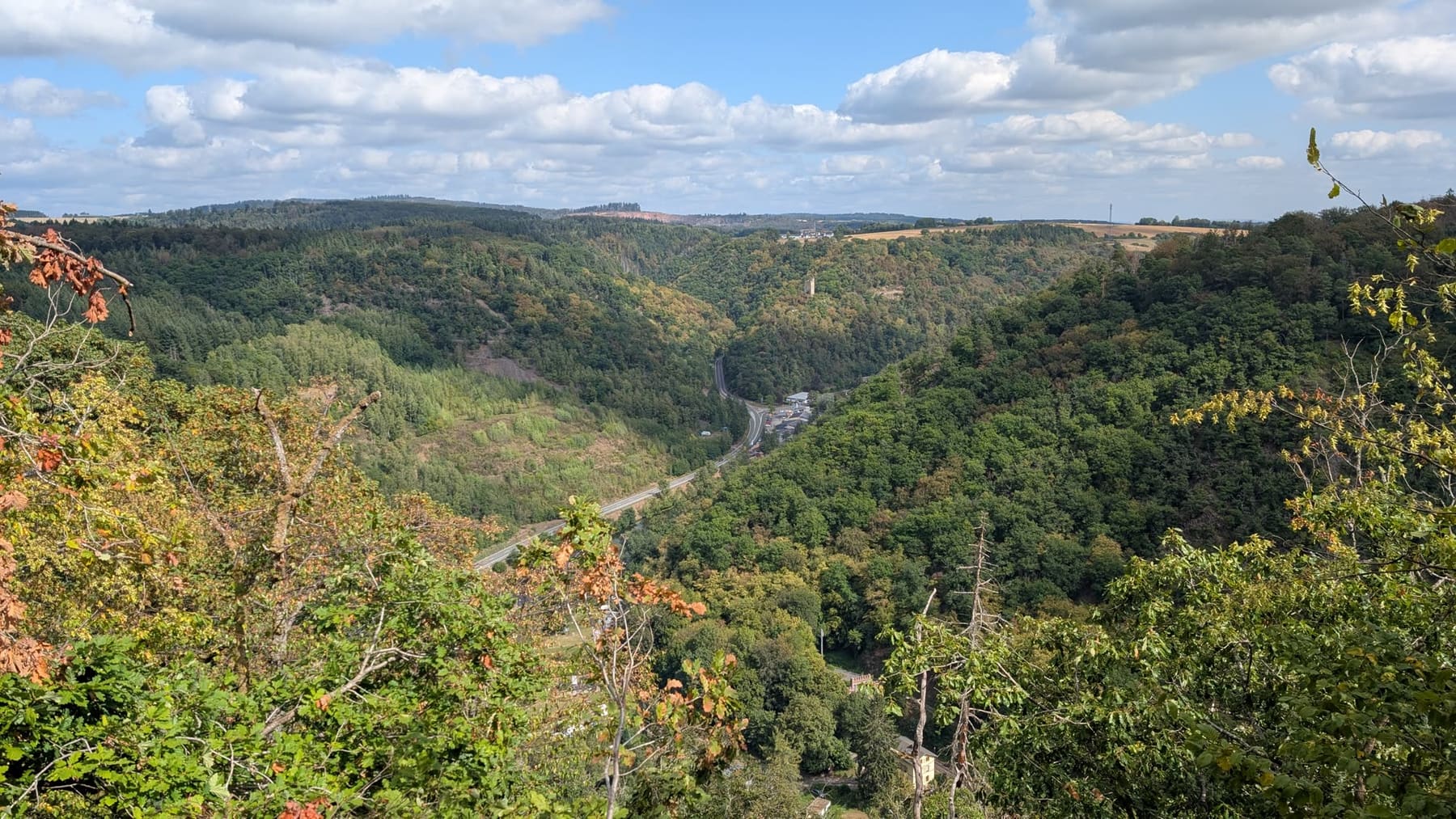
From Laurenburg past the Goethepunkt to Obernhof and back on the Lahn valley railway: a day of hiking on the Lahn.
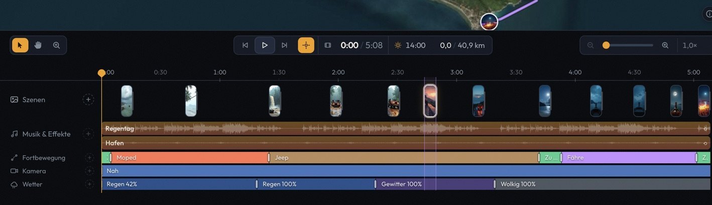
From recording with the app to music, weather and editing in the Studio, through to the finished 3D camera flight.
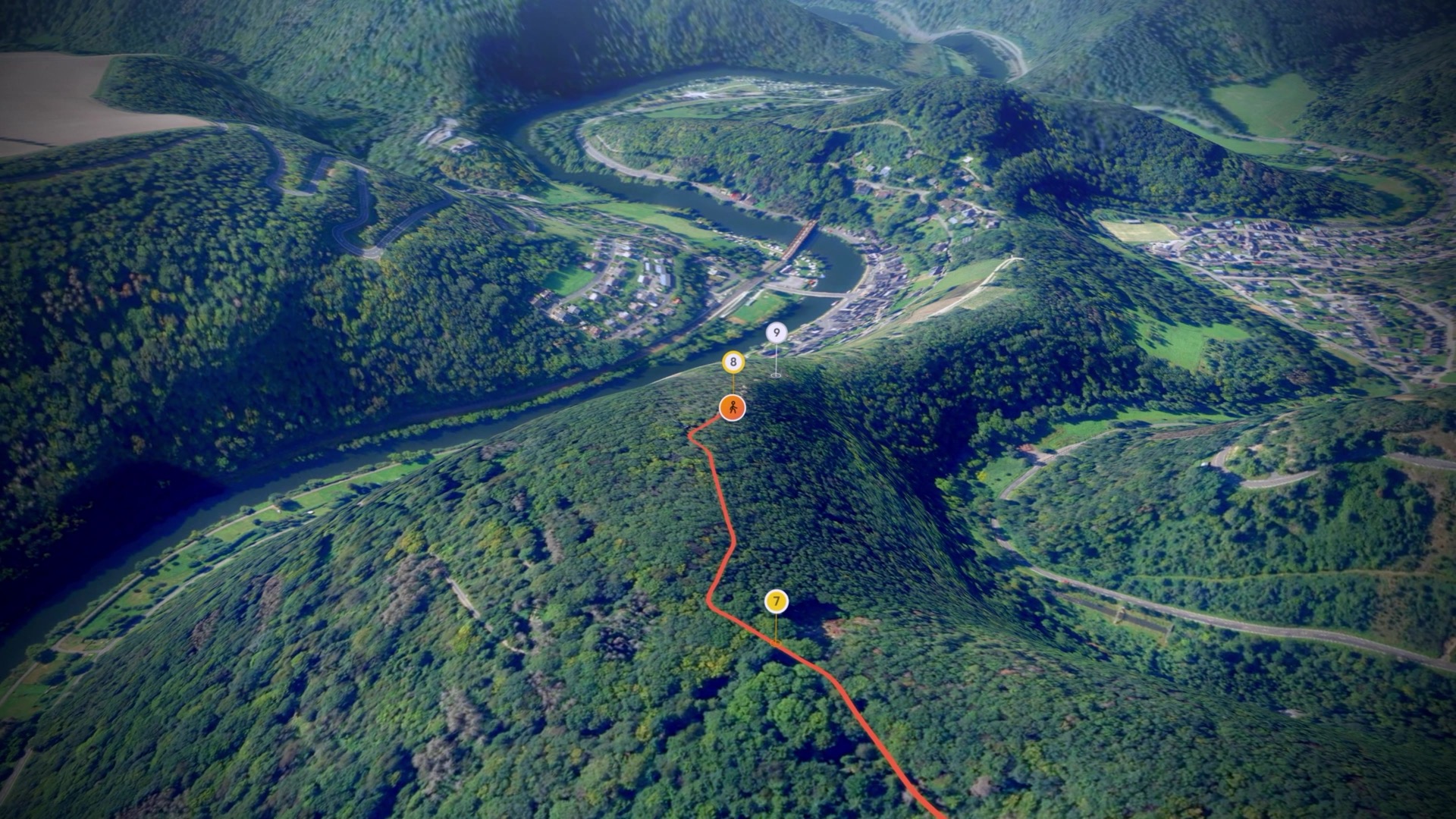
Map and terrain data: Esri, Vantor, Earthstar Geographics, GIS User Community · Mapzen / AWS Open Data
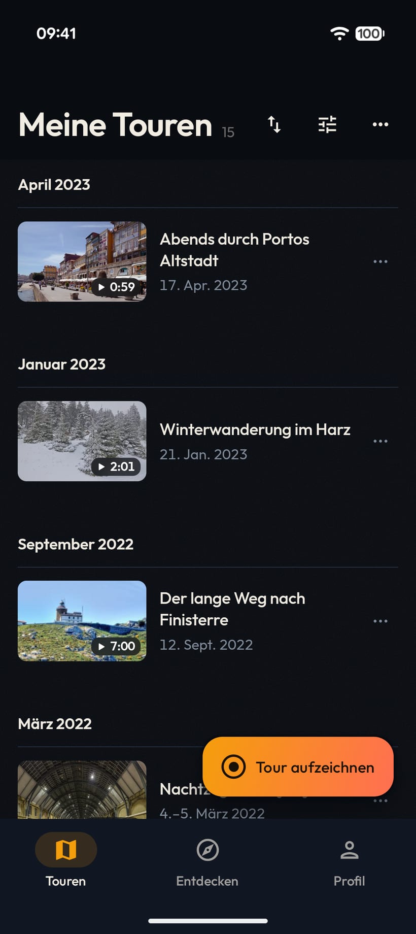
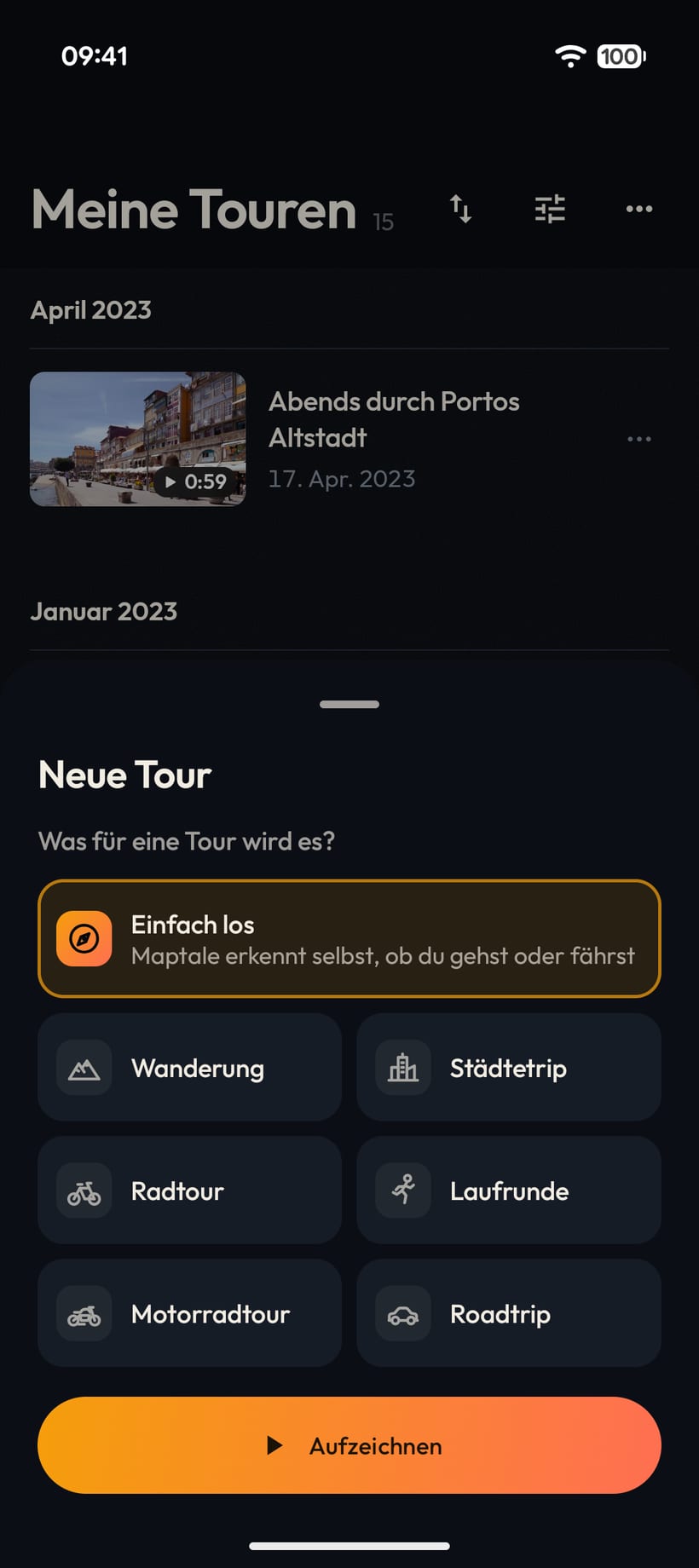
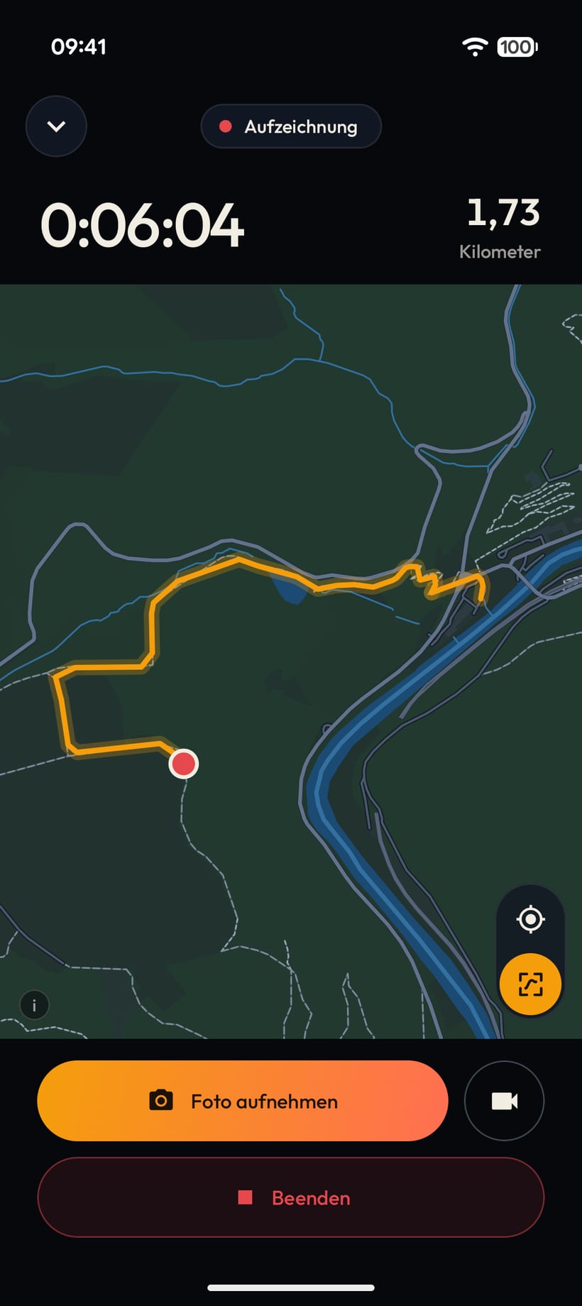
The recording app tracks your tour by GPS, keeps the photos and videos you take along the way and uploads everything. Your 3D travel flight then waits in the browser, enriched and ready.
Your tour as a 3D flight
Satellite image: Esri, Vantor, Earthstar Geographics, GIS User Community · Map: © OpenStreetMap contributors, © OpenMapTiles
Record, connect or upload: the choice is yours.
Android
The Maptale app records your route, and the photos and videos you take along the way come with it. Once uploaded, you play the film in the app or in the browser.
Automatic
Once linked, every new activity lands in Maptale by itself. The Maptale app adds the photos you took along the way from your phone.
Any watch, any app
From Garmin, Strava, Komoot and almost any sports watch. Upload the file in the studio, and Maptale puts your photos in their place on the route.
More services comingWe are working on direct connections to more services, so your tours arrive without a detour.
The film is there. Here you make it yours.
Everything you need to know about GPS import, devices, 3D flyovers, and privacy.
Have a question that is not covered? We welcome your feedback.
Maptale works with any tour that has a GPS track: hiking, mountaineering, cycling, bikepacking, running, motorcycle or road trips, and travels of any kind. In the studio, you can set the right mode of transport and pace for each segment.
There are three ways:
Instead of a short video clip, you get an interactive 3D film that plays in the browser and has its own address you can share. In the studio, you decide on music, camera work, photo stops and the weather of that day yourself.
Maptale is free during the alpha. Paid options will come later, because the project has to sustain itself. What they will look like is not decided yet. We do not sell your data, and it stays on European servers.
The 3D player and the studio run directly in the web browser on any desktop, tablet, or smartphone. You do not need an app to view tours or edit GPX files. The recording app is currently available for Android, with an iOS version in the works.
Maptale is in closed alpha right now. Join the waiting list, and as soon as a spot opens up, your invitation code arrives by email.