See your hike again as a 3D flyover
The Maptale app for Android records your hike and gathers your photos along the way. They become a film over the real landscape that pauses briefly at each photo.
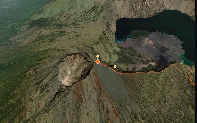
What a mountain trek looks like as a film
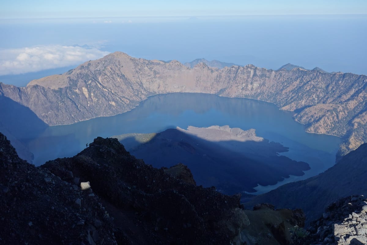
Three days on Mount Rinjani on Lombok: down from the crater rim to the lake, then off in the dark for the 3,726 m summit.
- 13.1 km
- ↑ 2,554 m
- 2:50 min film
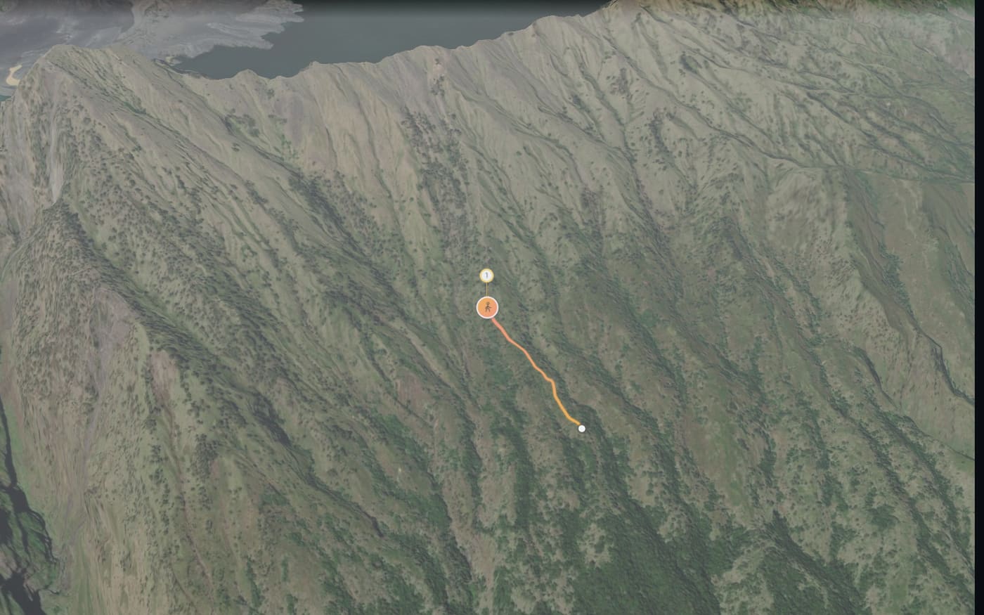
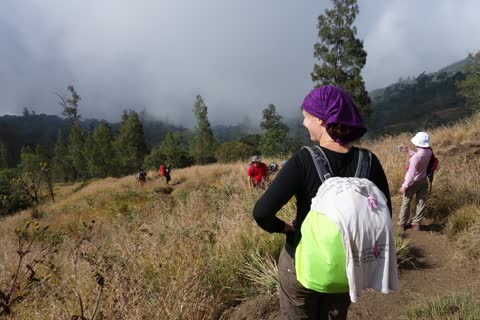
Above the tree line
after 0.7 km
Fog, just like in the photo: Maptale knows the weather on the day of your hike and shows it in the film.
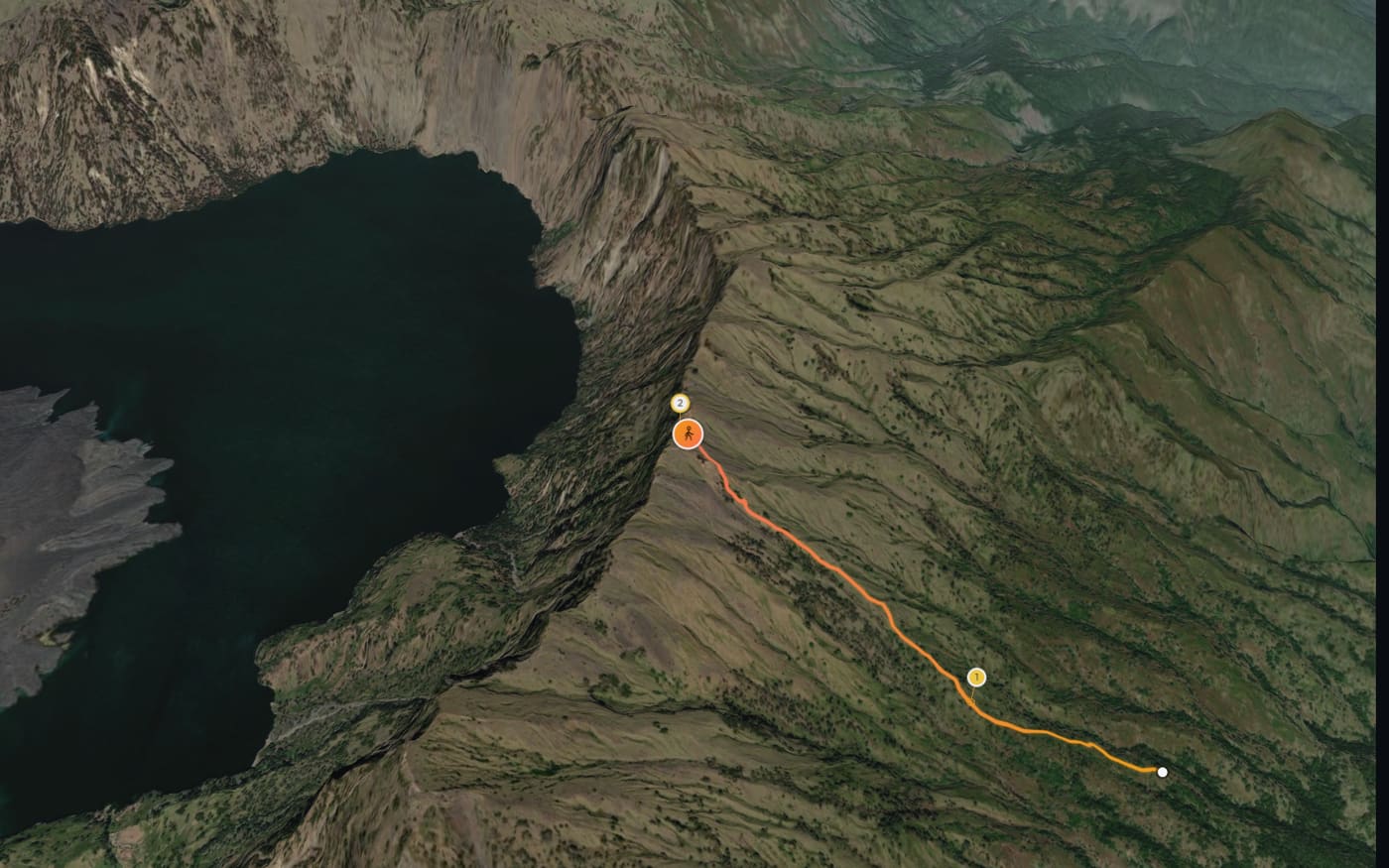
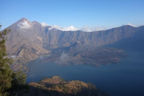
The crater opens up
after 2.0 km
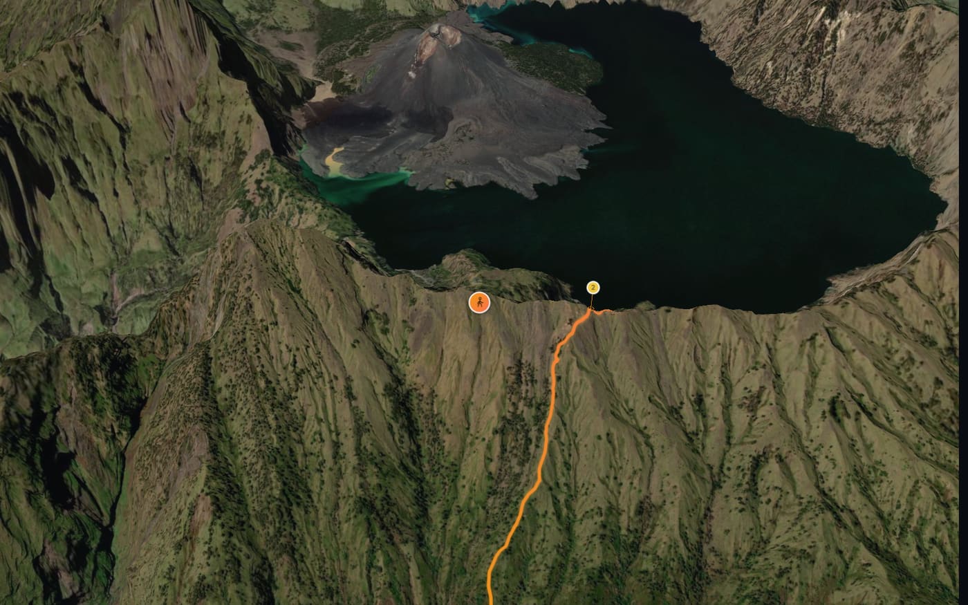
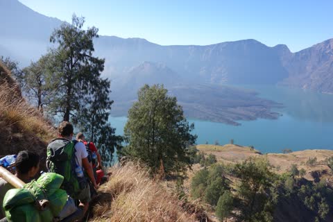
Down to the lake
after 3.1 km
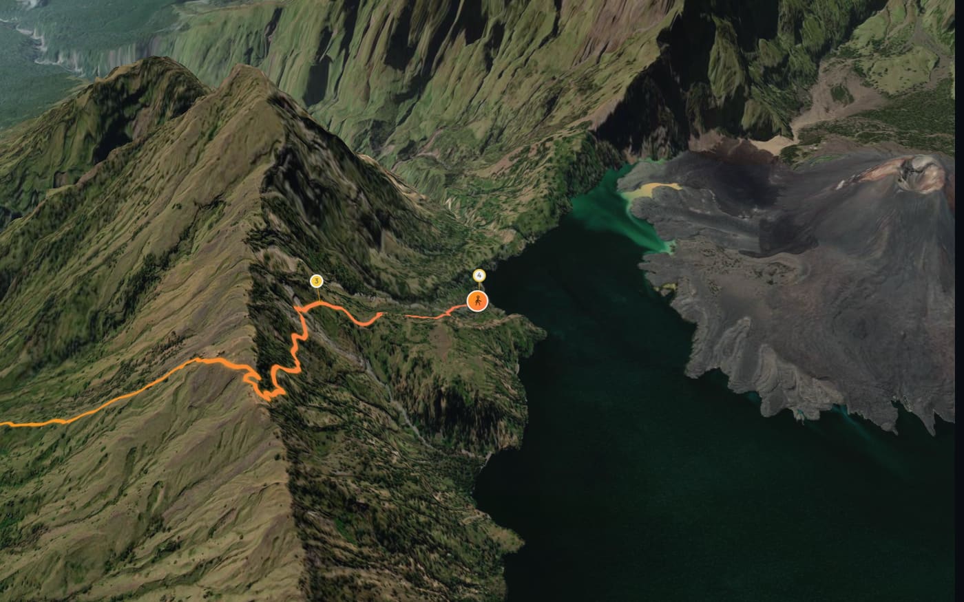
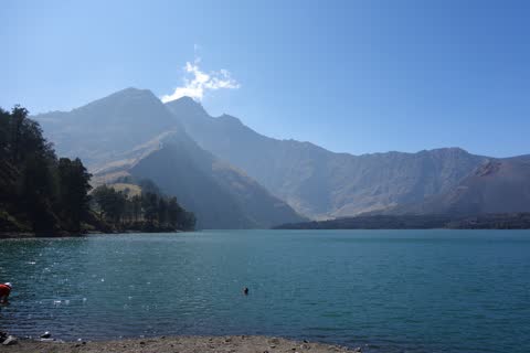
Segara Anak
after 4.3 km
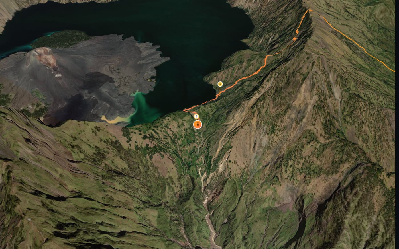
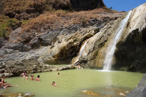
Hot springs
after 5.5 km
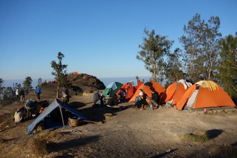
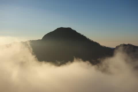
Camp on the crater rim · Out of the sea of clouds
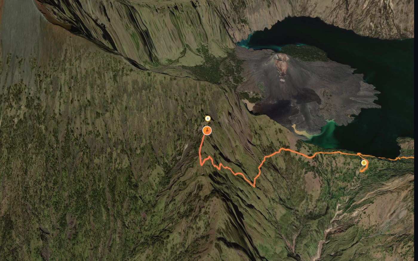
after 9.9 km
On the way up to camp, the steepest bit of the crater wall: about 190 m of climbing in 300 m of trail.
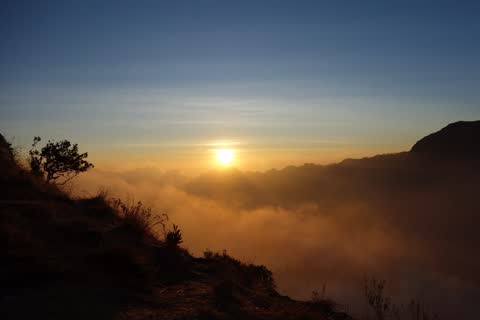
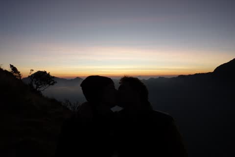
Sunset over the sea of clouds · Two at dusk
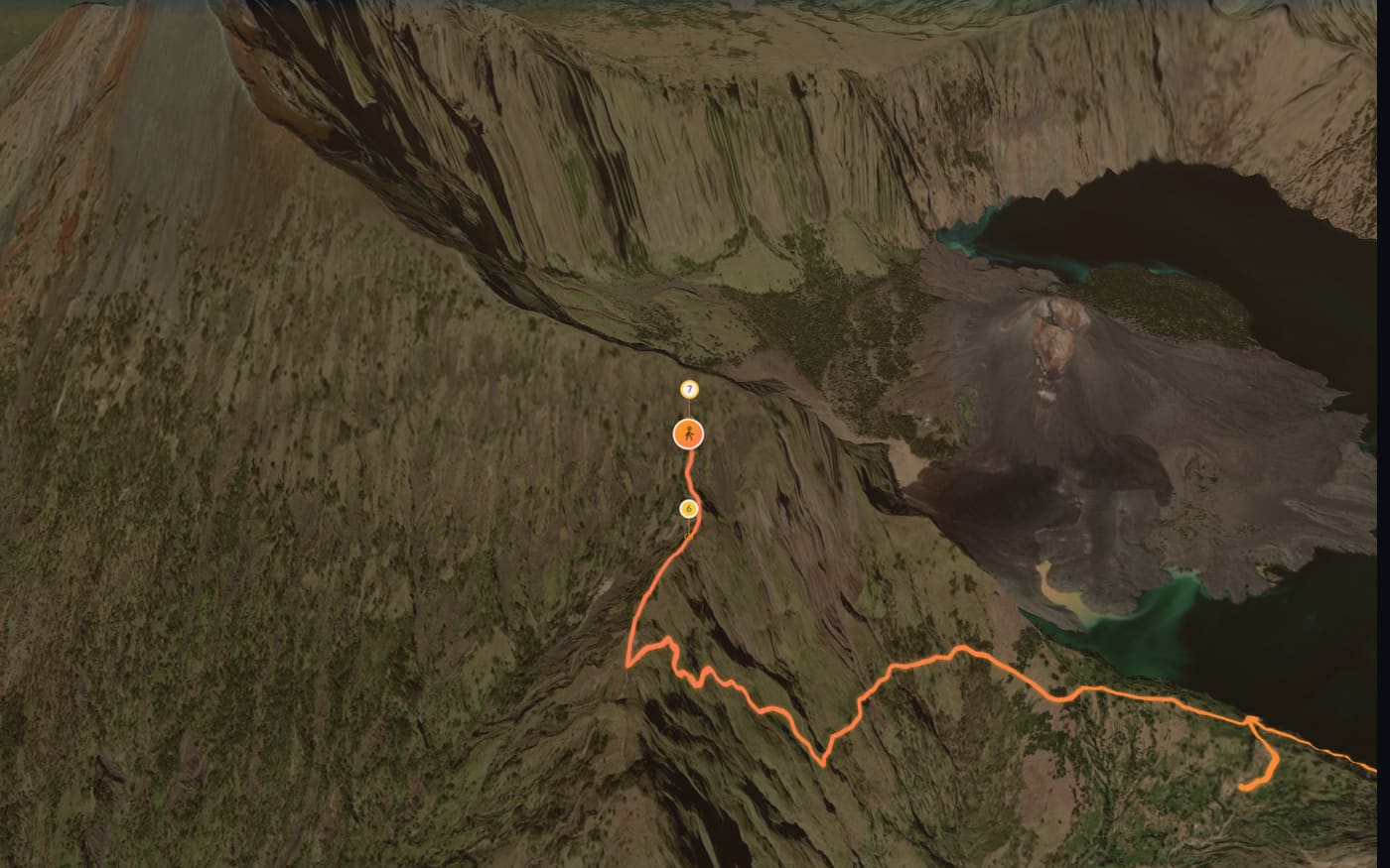
after 10.3 km
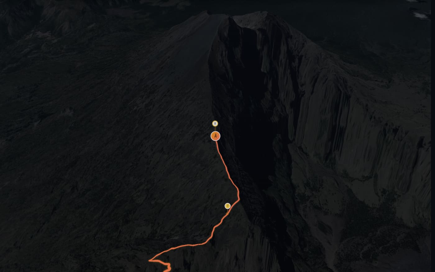
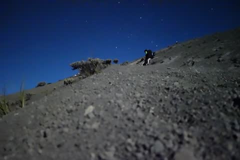
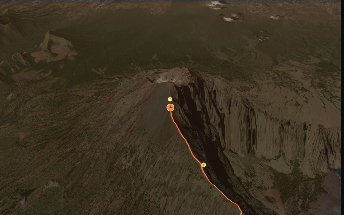
Night ascent
after 11.4 km
Over 9 hours at camp, off again at 3:02 AM. In the film the night is over in seconds.
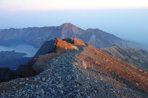
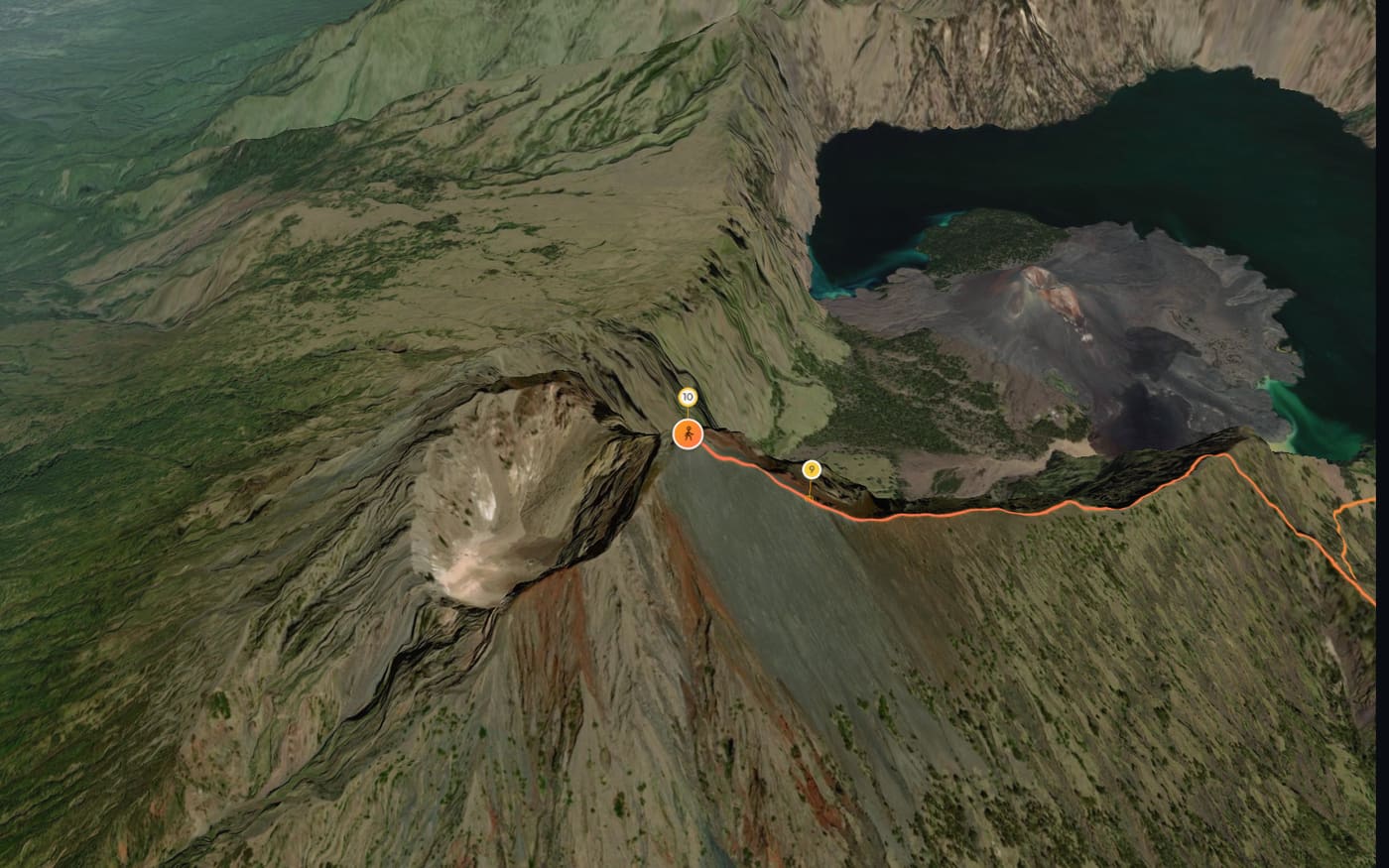
Summit ridge at first light
after 12.7 km
Sunrise at 5:44 AM, just before the ridge. The film's sun rises at the same moment.
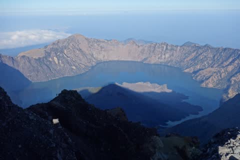
Segara Anak from the summit
after 13.1 km
Satellite imagery: Esri, Vantor, Earthstar Geographics, GIS User Community. Terrain: Terrain Tiles by Mapzen and AWS, sources in the legal notice
Watch the whole film (2:50 min)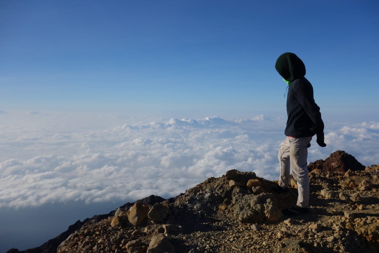
How your hike becomes a film
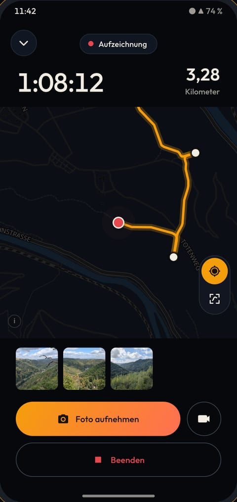
Record
Start the app and head off, signal or not. Shoot with the app or your usual camera: if you allow it, the app picks up the photos taken during your hike.
Also works withGPXKomootGarminStravaPolar
Watch
Once it's uploaded, Maptale turns your track and photos into a film. No editing needed.
Share
Every hike has its own link. You decide who gets to see it.
A day hike and a mountain trek to watch
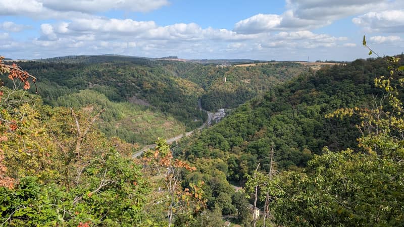
Lahn Valley Hike: Laurenburg to the Goethepunkt
Rhineland-Palatinate, Germany
Through the woods high above the Lahn to the Goethepunkt, then back by train.
Day hike11.9 km↑ 559 m
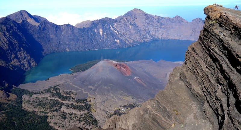
Mount Rinjani Trek, Lombok: Crater Lake and Summit
Lombok, Indonesia
From the crater lake and its hot springs up to the summit, after a night in a tent on the crater rim.
Mountain trek with a night ascent13.1 km↑ 2,554 m
Questions before your first hike
- Do I have to record with the Maptale app?
- No. Any GPS track works, as a GPX file or straight from your Polar account. The app is just the easiest way, because it gathers your photos too.
- I have an iPhone. Does it work?
- Yes. Watching and sharing works in any browser, and you bring your hike as a GPX file. The recording app is only available for Android so far.
- Do I need signal on the trail?
- No. The Maptale app records without reception and uploads your hike as soon as you're back online.
- What about photos without a location?
- Then the time the photo was taken counts: Maptale finds the spot where you were at that moment. If none fits, you place the photo yourself in the Studio.
- Who can see my route?
- At first, only people with the link. You can also keep a hike to yourself or make it public, and change that any time.
- What does it cost?
- Nothing while we're testing. Paid options will come later. What they will look like is not decided yet.
Your next hike becomes a film
Maptale is still in a small, closed test phase. Sign up and we'll be in touch as soon as a spot opens up.